
New technology will provide super-precise groundwater models
Newly developed NMR technology from Aarhus University can become a gamechanger for 3D modelling of groundwater resources and soil conditions.
Researchers from the Department of Engineering and Department of Geoscience at Aarhus University have developed a technology that can be used to map hydrogeological and geological structures in the subsurface.
This technology is now being introduced in a new research project that has received DKK 6 million from Independent Research Fund Denmark. The technology could prove to be groundbreaking in that it very precisely can determine and model groundwater movements and the 3D structure of groundwater.
Jakob Juul Larsen, associate professor from the Department of Engineering, and head of the project, explains:
"By using NMR measurements, we can affect hydrogen atoms in water molecules in the ground. This is actually a well-known method, but so far the technology has been too slow and too noise sensitive. This is why we’ve developed our own NMR transmitter here at the university. In the new project, we’re working on new types of NMR pulse sequences, which are much quicker to provide more precise and detailed data on the water content of the subsurface layers and their ability to store and transport water."
NMR is short for Nuclear Magnetic Resonance and in short means that we affect the hydrogen atoms in water molecules in the subsurface using a man-made magnetic field on the ground surface.
Hydrogen atoms have a so-called nuclear spin which, in principle, aligns with the magnetic field of the earth, either with or against the field – just like small magnets. A pulse from the artificially created magnetic field changes the spin direction of the hydrogen atoms, and when the pulse fades out, the atoms return to the direction they had before. This realignment emits an electromagnetic field that can be measured.
"In this way, we only read the signal from the hydrogen atoms, and that allows us to read the water content in the subsurface we’re measuring. At the same time, the realignment is dependent on geological sediments to which the water is bound, and in this way, we can measure what the soil conditions are," says Jakob Juul Larsen.
(The article continues below the picture)

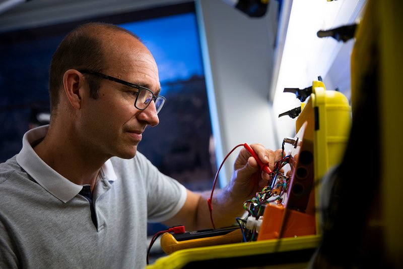
The research team behind the new technology. Associate Professor Jakob Juul Larsen at the far left. Photo: Jakob Juul Larsen.
This provides the researchers with precise knowledge of the structure and composition of the subsurface, and this is rather important, explains Jakob Juul Larsen. Because this is, in many cases, linked to the environment and climate change.
One of the consequences of climate change is more extreme weather conditions, such as greater risk of cloudbursts and long periods of drought. Increased precipitation can have major consequences such as flooded roads and homes, and lack of precipitation has severe consequences for society and agriculture. Despite the differences between these two types of event, the risk management is the same: Accurate groundwater models that can predict how water is stored and moves in the subsurface.
In this context, surface-based NMR measurements are a promising technology if we can manage the noise that normally conceals the measurements we carry out," says Jakob Juul Larsen:
“When we carry out measurements in Denmark, there is so much noise on top of the NMR signal that we receive from the ground and subsurface. For example, the electricity grid generates lots of noise that conceals the signals from the hydrogen atoms. That's why we've looked for a method that can find the tiny signal in what is in principle an inferno of noise, and this is where our new technology has an advantage," he says.
(The article continues below the picture)
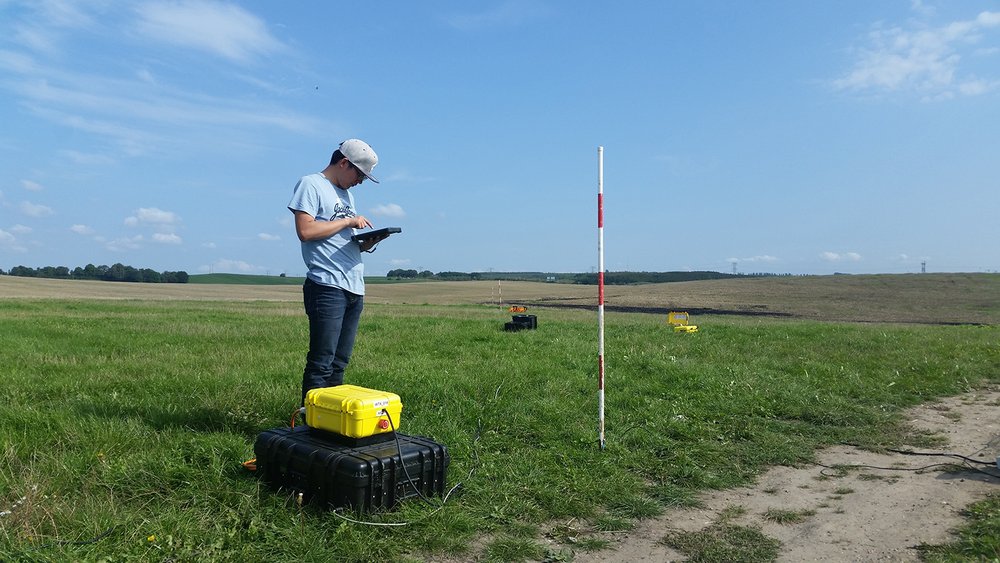
Measuring nuclear magnetic resonance in the electromagnetic field created by hydrogen atoms in water molecules. Photo: Jakob Juul Larsen.
Jakob Juul Larsen continues:
"We’ve built a completely new transmitter system that allows us to increase the number of measurements dramatically, and this is absolutely necessary if this method is to help us measure the subsurface. Today, it takes up to a full day to carry out one NMR measurement, but we expect to be able to significantly increase the number of measurements with the results from this new project."
The name of the new research project is ”Flood and drought - Tracking water in the shallow subsurface”. The project aims to map a given geology to a depth of 30 metres very precisely and can be used everywhere on the planet.
“There are problems with groundwater all over the world. Either there’s too little, or there’s too much, or it’s polluted. It’s very important that we have the technology to better map the groundwater in all countries in order to find out how we can take better care of it in the future," says Jakob Juul Larsen.
Contact
Associate Professor Jakob Juul Larsen
Department of Engineering
Mail: jjl@eng.au.dk
Phone: +45 41893273